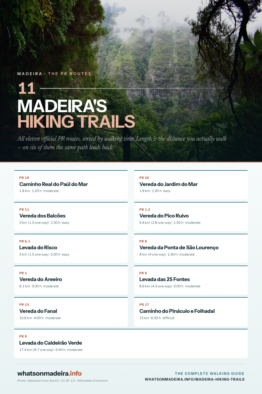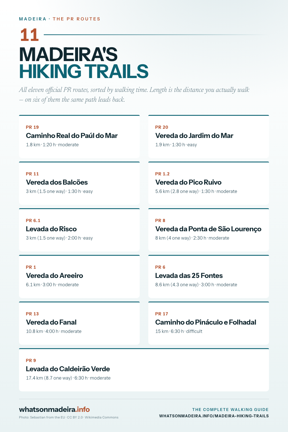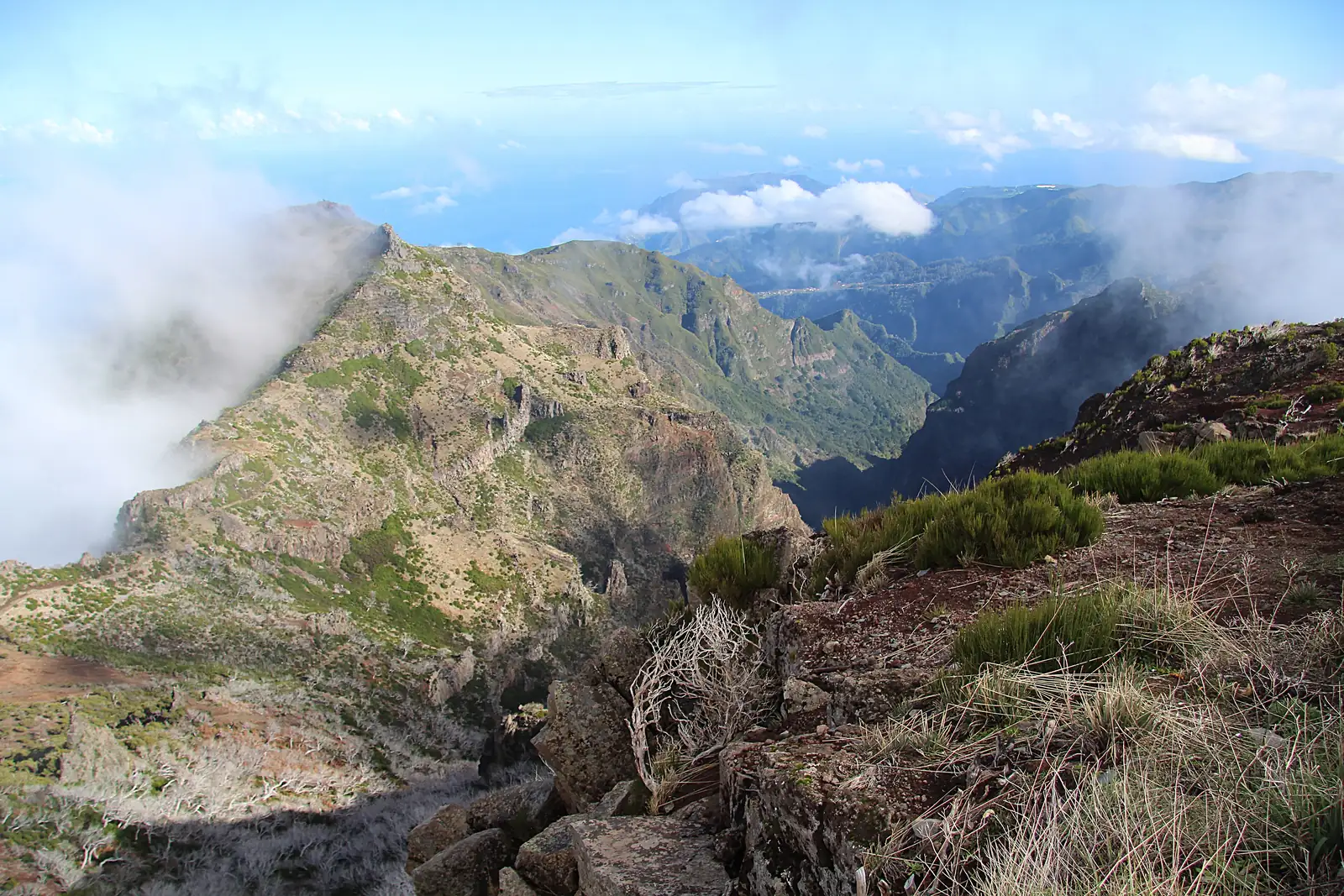
The routes in this guide
The eleven routes at a glance
| Route | Length | Time | Grade | Altitude |
|---|---|---|---|---|
| PR 1 Pico do Arieiro → Pico Ruivo | 6.1 km | 3:00 | moderate | 1491–1857 m |
| PR 1.2 Pico Ruivo from Achada do Teixeira | 2.8 km | 1:30 | moderate | 1590–1857 m |
| PR 6 Levada das 25 Fontes | 4.3 km | 3:00 | moderate | 964–1288 m |
| PR 6.1 Levada do Risco | 1.5 km | 2:00 | easy | 1000–1288 m |
| PR 8 Ponta de São Lourenço | 4.0 km | 2:30 | moderate | 23–126 m |
| PR 9 Levada do Caldeirão Verde | 8.7 km | 6:30 | moderate | 872–1020 m |
| PR 11 Vereda dos Balcões | 1.5 km | 1:30 | easy | 870–880 m |
| PR 13 Vereda do Fanal | 10.8 km | 4:00 | moderate | 1130–1420 m |
| PR 17 Pináculo e Folhadal | 15.0 km | 6:30 | difficult | 970–1490 m |
| PR 19 Caminho Real do Paúl do Mar | 1.8 km | 1:20 | moderate | 16–550 m |
| PR 20 Vereda do Jardim do Mar | 1.9 km | 1:30 | easy | 35–530 m |
Those are the official distances, and they are one way. This is the most misread number on the island: on the routes that return along the same path — PR 6, PR 8, PR 9, PR 11 — you walk double. Four kilometres on Ponta de São Lourenço is eight by the time you are back at the car.
Booking and fees
Since 2025 a reservation is compulsory on the classified PR routes, for each individual trail and each individual day. You book through the regional portal SIMplifica, in 30-minute entry slots.
- €4.50 per person (as of 8/2026) if you walk independently.
- €10.50 for PR 1, priced separately since it fully reopened in May 2026.
- €3 through operators holding an IFCN protocol — which is why a guided walk can end up costing barely more than doing it yourself.
- Madeira residents and children under twelve pay nothing. They still need a booked slot.
The amount has already moved twice since it was introduced. Check the portal when you plan; what it says is what is binding. The process is covered under booking trails.
There are checks at the trailhead, and they are real. Without a booking your walk ends at the gate — after the drive, often after an hour of mountain road.
Levada or mountain path
The routes fall into two kinds that have about as much in common underfoot as a farm track and a via ferrata.
Levadas follow the historic irrigation channels. They are level by construction — they have to be, or the water would not run — so they ask almost nothing of your fitness. They ask something else: narrow ledges without railings, wet polished stone, unlit tunnels. PR 9 has four of them.
Veredas are mountain paths. They climb and drop, they are dry and well stepped, and they want stamina rather than nerve. PR 1, along the ridge between the island’s two highest summits, is the model.
If you have a head for heights problem, a vereda is often the safer bet than a levada — which is the opposite of what most people assume before their first walk here.
What to bring
- Boots with a real sole. Not trainers. Levada stone is damp all year and as slippery as soap.
- A head torch for any route with a tunnel. Your phone lights twenty metres, not eight hundred — and it occupies the hand you need on the wall. More under levada grades, tunnels and head torches.
- A rain jacket, even under a blue sky in Funchal. The north has its own weather.
- More water than you think. PR 8 gives you four hours without a square metre of shade and no spring.
- A warm layer for the highland. At 1,800 m it is routinely ten to fifteen degrees colder than at sea level.
The weather decides, not the calendar
Madeira does not have one weather, it has several at once. Sun in Funchal and solid cloud in Santana is the normal case rather than the exception — the reason is under weather in the north and south.
For the mountains, the Portuguese weather service IPMA runs a separate warning area. A yellow wind or fog warning there is why PR 1 can stay shut in the morning while the coast is in sunshine. The current picture is beside this text.
In practice: walk the ridge early, because the cloud usually arrives by midday. Walk Fanal the other way round — in fog, because fog is exactly what it is famous for.
Which route for whom
- First walk, not sure: PR 11 Balcões — twenty minutes to the viewpoint, wide, nothing to fall off.
- One day, one big picture: PR 1.
- The summit without the ridge: PR 1.2 — same Pico Ruivo, other direction, one hour instead of three.
- The classic levada: PR 6 to the 25 Fontes.
- No exposure, but no shade either: PR 8.
- A full day and real stamina: PR 17.
Without a car
Almost every trailhead sits on a mountain road with no useful bus service, and several routes end somewhere other than where they start — on PR 13, PR 17, PR 19 and PR 20 your car spends the evening at the wrong end of the island. That is what hiking transfers are for: a lift to the start, a pick-up at the finish, and you walk it on your own.
If you would rather walk with a group, guided mountain hikes and levada tours cover the formats — see all hiking tours on GetYourGuide (Affiliate link).