Part of our complete guide: Madeira’s hiking trails: the PR routes explained
- Length
- 1.8 km
- Walking time
- 1:20 h
- Difficulty
- moderate
- Altitude
- 16–550 m
- Start
- Prazeres
- End
- Paúl do Mar
- Fee
- €4.50 per person (as of 2026-08), booked via SIMplifica
PR 19 — The route
Open this route interactively on OpenStreetMap
What it is like
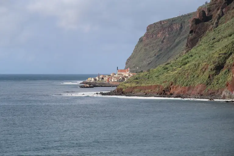
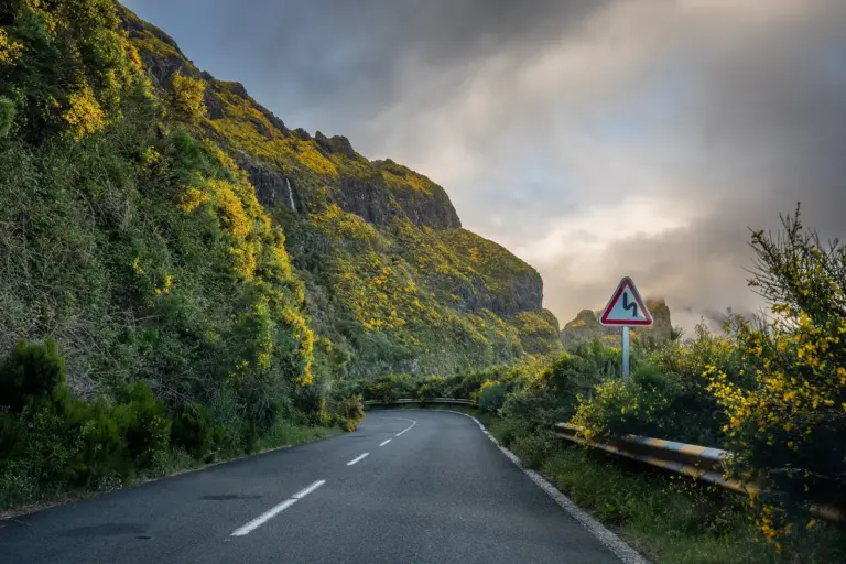
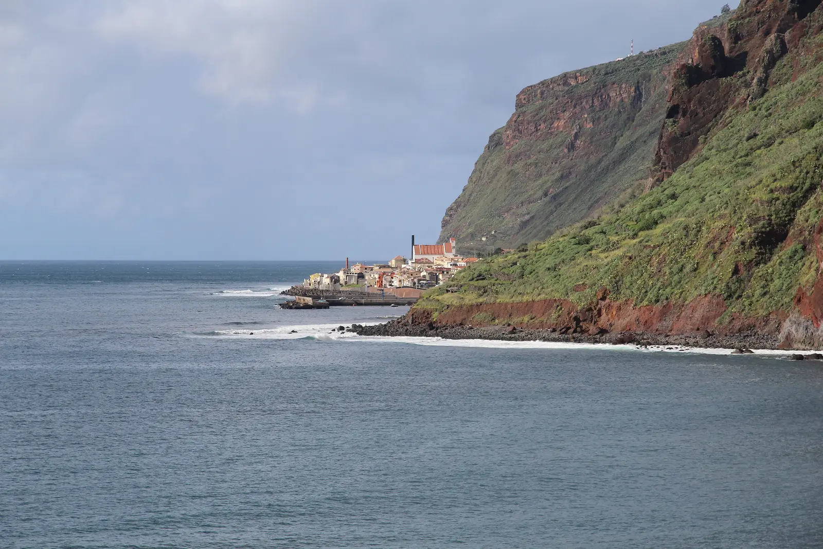
The route is a near-continuous switchback down a steep flank. Historically cobbled, wide enough, protected at the exposed points. The view over the west coast is open for most of it — and since it goes downhill the whole way, you have that view in front of you constantly.
PR 19 — Elevation profile
The profile puts it in one picture: a single long downward diagonal. That demands something different from a climb. On sustained descent your knees and thighs work against gravity, and if you are not used to it you will feel it more the next day than after a longer mountain walk. Poles make more sense here than almost anywhere else on the island.
Getting back
Your car is at the top and you are at the bottom, 530 metres below. Three options:
- Walk back up. The same route, a good hour and a half, and a completely different proposition from the way down.
- A taxi from Paúl do Mar. The commonest solution; the road takes a wide detour.
- Two cars or a transfer.
If you want to make a day of it, continue along the coast to Jardim do Mar and climb back to Prazeres on PR 20. That makes a complete round — with two reservations.
Paúl do Mar
At the bottom is a fishing village that was reachable only by this path and by sea for most of its history. Narrow lanes, a promenade, a few restaurants, and one of the island’s best-known waves — more under surf lessons.
Booking
Fee and reservation required through SIMplifica, in 30-minute slots. Process under booking trails.
Common questions
Only 1.8 km — is that a walk? On paper an hour and twenty. In practice it is not the distance that decides but the gradient: 530 metres of continuous descent is, for many people, the most tiring kilometre of their holiday.
Can you do it with children? Yes, from about eight. The path is well built, but the descent is long.
Uphill instead of downhill? Possible, and honestly better for your knees, but hot in summer — the flank faces south-west and has almost no shade.
In the wet? Cobbled switchbacks get slippery in rain. Proper soles are essential.