Part of our complete guide: Madeira’s hiking trails: the PR routes explained
- Length
- 6.1 km
- Walking time
- 3:00 h
- Difficulty
- moderate
- Altitude
- 1,491–1,857 m
- Start
- Pico do Arieiro
- End
- Pico Ruivo
- Fee
- €10.50 per person (as of 2026-08), booked via SIMplifica
PR 1 — The route
Open this route interactively on OpenStreetMap
What it is like
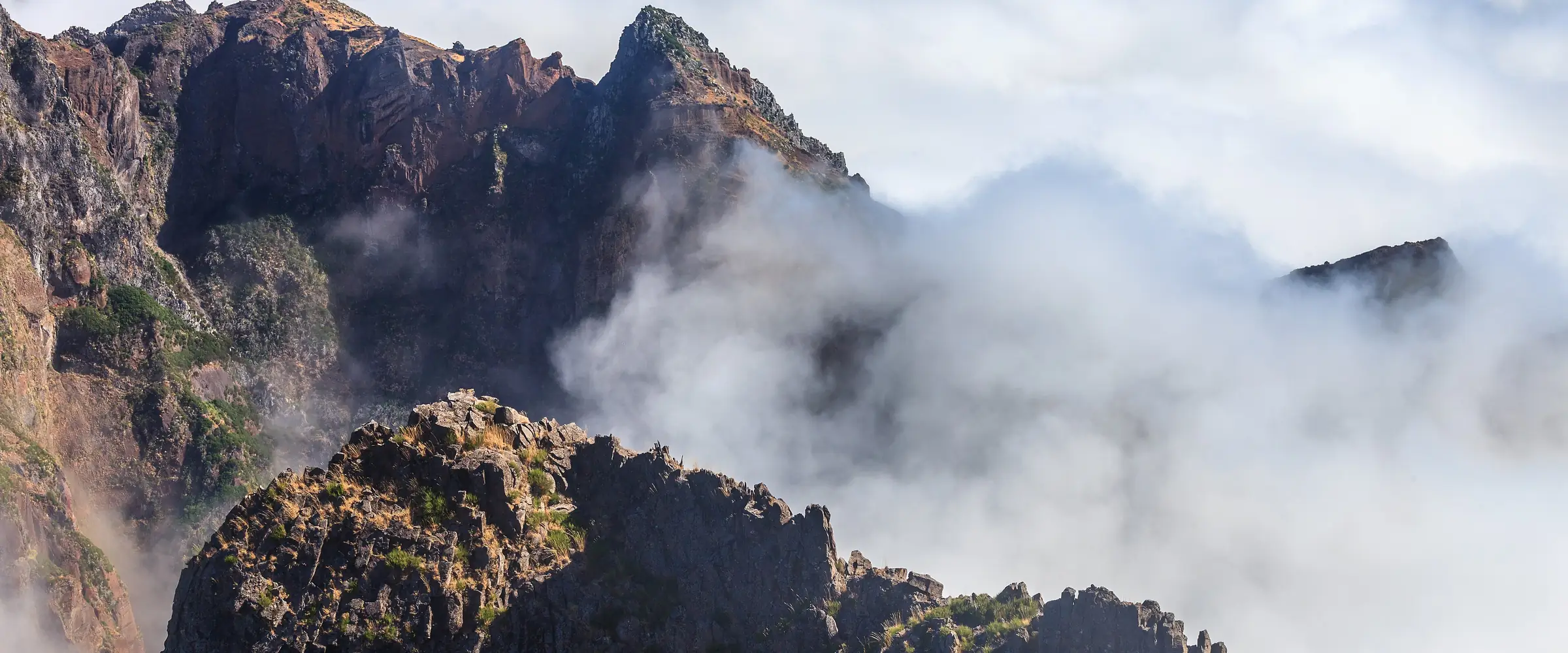
The start at Pico do Arieiro is unfairly comfortable: you park at 1,818 m and spend the first half hour walking downhill. After that the arrangement reverses. The ridge drops away steeply on both sides, the steps are high, and the route is a sequence of climbs and descents that adds up to far more ascent than the 366 m between its lowest and highest point suggests.
PR 1 — Elevation profile
Three tunnels sit along the way, the longest around 200 m, all unlit and dripping wet. Without a head torch this route does not make sense — a phone is not bright enough, and it occupies the hand you want on the handrail.
The last twenty minutes to the summit of Pico Ruivo run up a broad paved ramp. After the ridge it feels like a pavement.
Exposure
The path is protected throughout, with railings at every serious point. It is still exposed: there are stretches with several hundred metres of air on both sides, and a railing removes the risk but not the feeling.
If you know you freeze in that kind of terrain, walk PR 1.2 from Achada do Teixeira instead. It reaches the same summit, in one hour rather than three, without a single exposed metre.
Cloud, and why you start early
The ridge sits exactly on the weather divide between north and south. Damp air off the north rises against the slope and condenses — usually during the morning. Start at seven and you will very likely walk above a closed sea of cloud. Start at eleven and you will often walk inside it.
That is why the sunrise tours go to Arieiro rather than Ruivo: the viewpoint at the starting end is reachable by car. More under Pico do Arieiro at sunrise.
In storm, ice or an official warning the route is closed, sometimes at short notice in the morning. The current warning picture for the mountains is beside this text.
Getting there and getting back
The ER 202 climbs to Pico do Arieiro from Poiso; the car park is at the trailhead and fills from eight in the morning on clear days.
The real problem is the return. This route does not end where it starts. Three options:
- Walk back the same way — 12.2 km and about six hours, with all of that up and down a second time.
- Continue to Achada do Teixeira and be collected there. The descent is PR 1.2 in reverse, a good hour.
- Book a hiking transfer. Drop-off at Arieiro, pick-up at Achada. On this route it is the commonest solution, and not without reason.
Booking
PR 1 requires a fee and a reservation, and it is the island’s most expensive — priced on its own since it fully reopened in May 2026. Book through SIMplifica in 30-minute slots; the process is under booking trails.
Common questions
How hard is PR 1 really? Officially moderate, and in fitness terms that is fair — three hours, no extreme gradients. What it demands is sure footing and a head for heights over long stretches.
Can you do it with children? With sure-footed children from about ten, accompanied, yes. For younger ones PR 1.2 is the right choice.
Do you need a guide? No, the route is impossible to lose. A guided day (Affiliate link) does solve the transport problem at the same time.
How much time should you allow? Three hours for the walk, plus the drive, plus time at the summit. Both directions means six to seven hours.