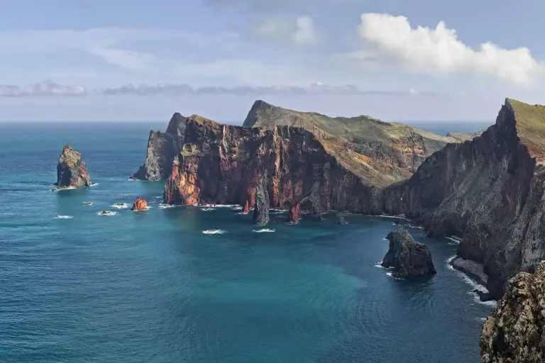
 Hiking & LevadasPR 8 Ponta de São Lourenço: the bare peninsulaMadeira's eastern tip looks like it belongs to a different island: no forest, barely any green, red and ochre volcanic layers, the Atlantic on both sides. If you ever want to see how Madeira is put together, you see it here.8. September 2026
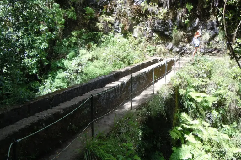 Hiking & LevadasPR 6 Levada das 25 Fontes: the classic levadaIf one walk stands for Madeira's levadas, it is this one. A narrow channel path through the laurel forest of the Rabaçal valley, ending in a rock amphitheatre where a whole cluster of springs comes straight out of the wall.8. September 2026Hiking & LevadasPR 6.1 Levada do Risco: the short way to the waterfallThe easiest route in the Rabaçal valley and the shortest walk to a big view: a wide, level levada ending in front of the Cascata do Risco, which drops around a hundred metres down a mossy wall in a single fall.8. September 2026
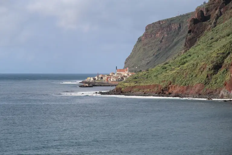 Hiking & LevadasPR 20 Vereda do Jardim do Mar: west coast descentThe counterpart to PR 19: same starting point at Prazeres, same steep flank, the neighbouring village as the destination. About 500 metres of descent over 1.9 kilometres, graded easy — which describes the path, not the effort.8. September 2026Hiking & LevadasPR 19 Caminho Real do Paúl do Mar: the old royal pathShort on the map, long in the knees. Over 1.8 kilometres this route drops a good 530 metres from the plateau at Prazeres to the coast — on a cobbled path that was the only way into the fishing village of Paúl do Mar before the road existed.8. September 2026
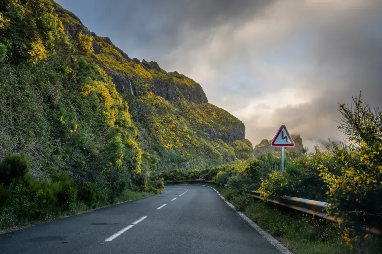 Hiking & LevadasPR 17 Caminho do Pináculo e Folhadal: the long dayFifteen kilometres, six and a half hours, graded difficult — the hardest route in this guide and the only one that takes a whole day. It crosses from Lombo do Mouro over the northern flanks of the central massif to the Encumeada, the saddle between the north and south coasts.8. September 2026
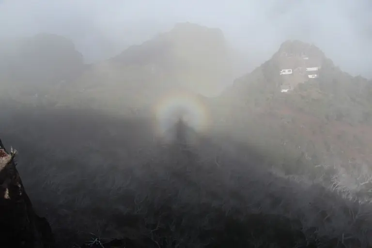 Hiking & LevadasPR 13 Vereda do Fanal: the fog forestFanal is not really a walk, it is a place — a plateau at about 1,150 m where til trees stand that are in places several hundred years old. Gnarled, broad, half-hollow, and for half the year the whole thing sits in fog. That is exactly what people come for.8. September 2026Hiking & LevadasPR 11 Vereda dos Balcões: the viewing balconyTwenty minutes on an almost level path, ending on a rock spur looking into the Ribeira da Metade valley and across to the island's highest peaks. The easiest classified route on Madeira, and for many people their first walk here.8. September 2026
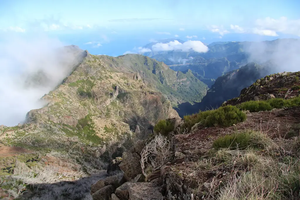
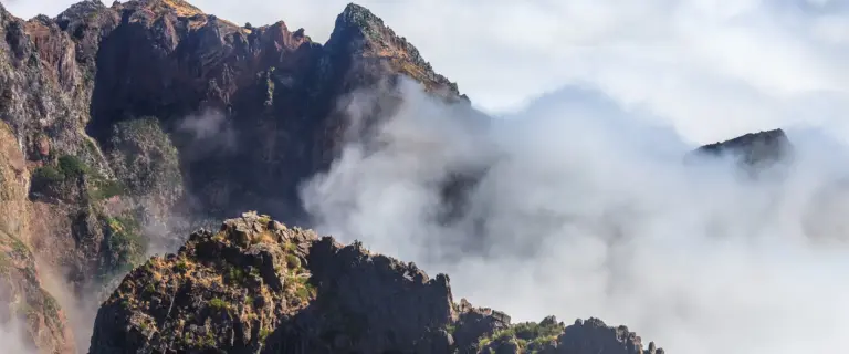 Hiking & LevadasPR 1 Pico do Arieiro to Pico Ruivo: the ridge walkThe island's best-known route links its two highest reachable summits. It does not run through the mountains but along the top of them — over a narrow volcanic ridge, through three tunnels, up and down something close to a thousand steps cut into the rock.8. September 2026