Part of our complete guide: Madeira’s hiking trails: the PR routes explained
- Length
- 10.8 km
- Walking time
- 4:00 h
- Difficulty
- moderate
- Altitude
- 1,130–1,420 m
- Start
- E.R. 209 Assobiadores
- End
- E.R. 209 Fanal
- Fee
- €4.50 per person (as of 2026-08), booked via SIMplifica
PR 13 — The route
Open this route interactively on OpenStreetMap
What it is like
The official route runs 10.8 km from the ER 209 at Assobiadores across the plateau to the ER 209 at Fanal — four hours with the character of a long, gentle high-level walk through laurel forest and across open pasture. No tunnels, no exposure, but a lot of soft wet ground.
Two things to know:
- The route does not end at its starting point. Start and finish are several kilometres apart on the same road. Without a second car or a transfer this becomes a very long day.
- The famous trees are at the Fanal end. If the trees are all you want, drive straight to the pasture at Fanal — you do not need the walk for that.
This guide shows no elevation profile for this route. The plateau is flat, the available elevation model has a 25-metre grid, and what came out of it would be the scatter of the model rather than the ground.
Why you go in fog
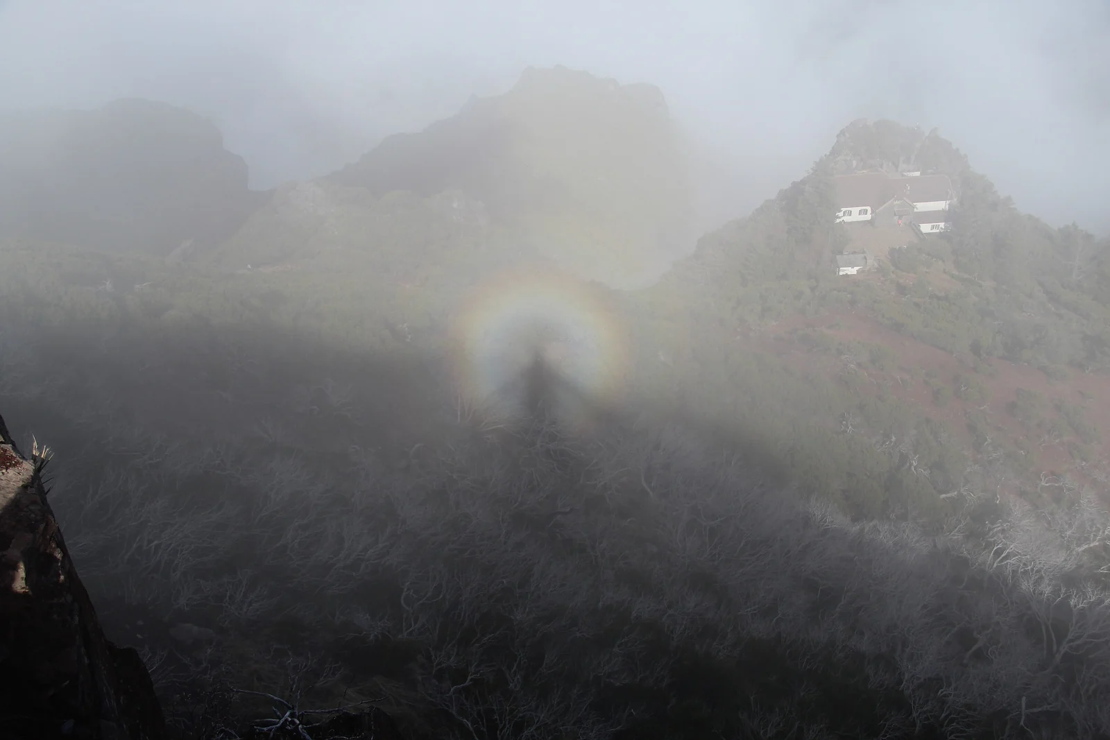
This inverts the usual rule. In sunshine Fanal is a pretty pasture with old trees. In fog — and the north-west of Madeira delivers it reliably — the silhouettes become the thing the place is known for.
The fog is also why the trees look the way they do: laurel forest lives on the moisture it combs out of the cloud. Why north and south have different weather explains the mechanism.
In practice this means navigation becomes a real consideration. The route is waymarked, but open pasture all looks the same and visibility drops below twenty metres. If that makes you uneasy, walk the short loop around the pasture rather than the full route.
Getting there
Via Paul da Serra and the ER 209 towards Ribeira da Janela. Both ends are on that road. The Fanal car park fills at weekends, and the road above it is often in cloud.
Without your own car this is effectively unsolvable — no bus comes here. Operators drive to Fanal deliberately when the conditions are right; more under guided mountain hikes.
Booking
Fee and reservation required through SIMplifica, in 30-minute slots. Process under booking trails.
Common questions
Do you have to walk all 10.8 km to see the trees? No. The well-known trees stand on the pasture at Fanal, a few minutes from the car park. The walk is the landscape around them.
When is fog most likely? In the winter half of the year, and generally in the morning. Nothing is guaranteed — the current warning picture for the mountains is beside this text.
Is it cold? At 1,130 to 1,420 m and in fog: yes, noticeably colder than the coast, and damp with it.