Part of our complete guide: Madeira’s hiking trails: the PR routes explained
- Length
- 8.7 km
- There and back
- 17.4 km
- Walking time
- 6:30 h
- Difficulty
- moderate
- Altitude
- 872–1,020 m
- Start
- Parque das Queimadas
- End
- Caldeirão do Inferno
- Fee
- €4.50 per person (as of 2026-08), booked via SIMplifica
PR 9 — The route
Open this route interactively on OpenStreetMap
Two destinations, two distances
This is where the numbers in circulation diverge, and for a real reason: there are two turning points.
- To the Caldeirão Verde — the green basin with the waterfall — is about 6.5 km each way. That is the walk most people mean, and a good half day.
- On to the Caldeirão do Inferno makes it the official 8.7 km each way and 6:30 hours. That second section is considerably rougher, exposed in places, and closed regularly after rain.
The figures in the panel above are the official ones and cover the whole route.
The tunnels
Four of them, the longest around 150 m, all unlit, all wet, one dripping from the ceiling end to end. A head torch is equipment, not a suggestion — with a phone in your hand you lose exactly the hand you want on the wall. Why this keeps coming up on this island is covered under levada grades, tunnels and head torches.
If you are not comfortable in tight dark spaces, skip this one. The tunnels cannot be bypassed.
What it is like
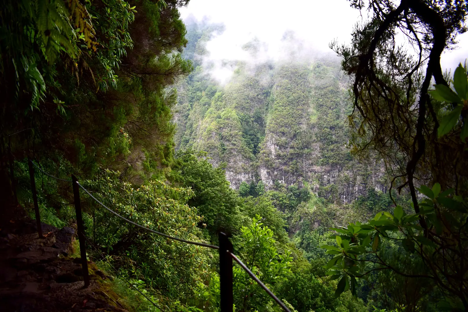
PR 9 asks little in fitness terms — it follows a channel, and a channel does not climb. The demand is in the length, in the tunnels, and in the narrow ledges above the drop, in places without a railing.
This guide shows no elevation profile for this route. The available elevation model has a 25-metre grid and cannot resolve a path a metre wide; for PR 9 it produces gradients that do not exist on a levada built level. A wrong diagram is worse than none.
The path is damp all year. Boots with a proper sole are required, and in heavy rain the route closes — the tunnels fill.
The step-free alternative
PR 9.1 “Um caminho para todos” starts from the same point: a surfaced, low-barrier section through the laurel forest of Queimadas. It is a separate classified route with its own reservation.
Getting there
A narrow road climbs from Santana to the Parque Florestal das Queimadas with its thatched houses. Parking is limited and fills early on fine days.
The route ends where it starts — same path back, car in the right place. No bus runs to Queimadas; hiking transfers cover it.
Booking
Fee and reservation required through SIMplifica, in 30-minute slots. Process under booking trails.
Common questions
How long to the waterfall? To the Caldeirão Verde and back is about five hours with stops. The official 6:30 covers the full route to the Caldeirão do Inferno.
Is a phone torch enough? No. The longest tunnel is around 150 m, and you need both hands.
Can you do it with children? From about ten, if they cope with darkness and narrow paths. For younger ones PR 11 is the better choice.
Guided? The route is waymarked and impossible to lose; an operator mainly solves the drive and the booking — see levada tours or all tours on GetYourGuide (Affiliate link).