Part of our complete guide: Madeira’s hiking trails: the PR routes explained
- Length
- 4 km
- There and back
- 8 km
- Walking time
- 2:30 h
- Difficulty
- moderate
- Altitude
- 23–126 m
- Start
- Baía d'Abra
- End
- Casa do Sardinha
- Fee
- €4.50 per person (as of 2026-08), booked via SIMplifica
PR 8 — The route
Open this route interactively on OpenStreetMap
What it is like
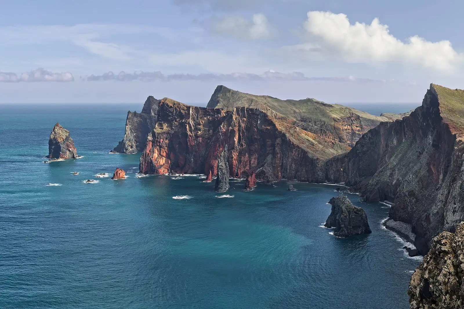
From the car park at Baía d’Abra a well-worn path runs along the spine of the peninsula, switching between the north and south sides. It rises and falls constantly, but never for long and never steeply — the high point is 126 m.
PR 8 — Elevation profile
At the far end stands the Casa do Sardinha, an old farmstead with the only trees for miles, plus drinking water and toilets. If you still have the legs, the climb up Morro do Furado takes about twenty minutes from there — and the view back over the whole peninsula is the real reward of the day.
No tunnels, no railing problem — but
PR 8 is the most accessible serious walk on the island. No tunnels, no head torch, no narrow levada ledges, no section that asks for a head for heights.
What it does ask for is different:
- No shade. Not little — none. Four hours without a square metre.
- Wind. This is the windiest place on the island. In a storm warning the route closes, and that happens.
- Water. Two litres a head is not excess here, it is the floor.
The realistic misjudgement on this walk is not the difficulty, it is the sun. A hat and sun cream belong here the way a head torch belongs elsewhere.
When to go
Early morning or late afternoon. Between eleven and three in summer the sun stands vertically over terrain with no cover at all.
The east is also the driest corner of Madeira: while the north sits in cloud, it is often clear out here. When the forecast looks bad for the island, PR 8 is frequently the walk that still works — the current warning picture is beside this text.
Getting there
Take the VR 1 to Caniçal, then follow the road to its end at Baía d’Abra. The car park is large but fills from late morning on fine days. The route ends where it starts — your car is in the right place at the end.
There are buses from Caniçal to Machico and Funchal, but not up to the car park.
Booking
Fee and reservation required through SIMplifica, in 30-minute slots. Process under booking trails.
Common questions
Four kilometres or eight? Officially four — one way. The same path brings you back, so eight, and 2:30 is a brisk allowance. With the Morro do Furado climb and a stop, plan four hours.
Can you do it with children? Yes, from about eight, as long as sun and wind are accounted for. There is no drop beside the path itself, but there certainly is beside that — children stay within reach.
Can you swim out there? A short descent at Casa do Sardinha leads to a bathing spot. This is open Atlantic and the current deserves respect.
And if a storm is forecast? The route stays shut. That is not a formality: there is nothing on this spine to slow wind down.