Part of our complete guide: Madeira’s hiking trails: the PR routes explained
- Length
- 1.5 km
- There and back
- 3 km
- Walking time
- 2:00 h
- Difficulty
- easy
- Altitude
- 1,000–1,288 m
- Start
- Rabaçal (E.R. 105)
- End
- Cascata do Risco
- Fee
- €4.50 per person (as of 2026-08), booked via SIMplifica
PR 6.1 — The route
Open this route interactively on OpenStreetMap
What it is like
Officially 1.5 km each way, and that is the levada itself. What that figure does not include is the access: another kilometre and a half and about 250 m of descent from the ER 105 car park down into the valley. That is why the maps in this guide show a longer route than the sign at the trailhead. A shuttle bus runs the climb back up.
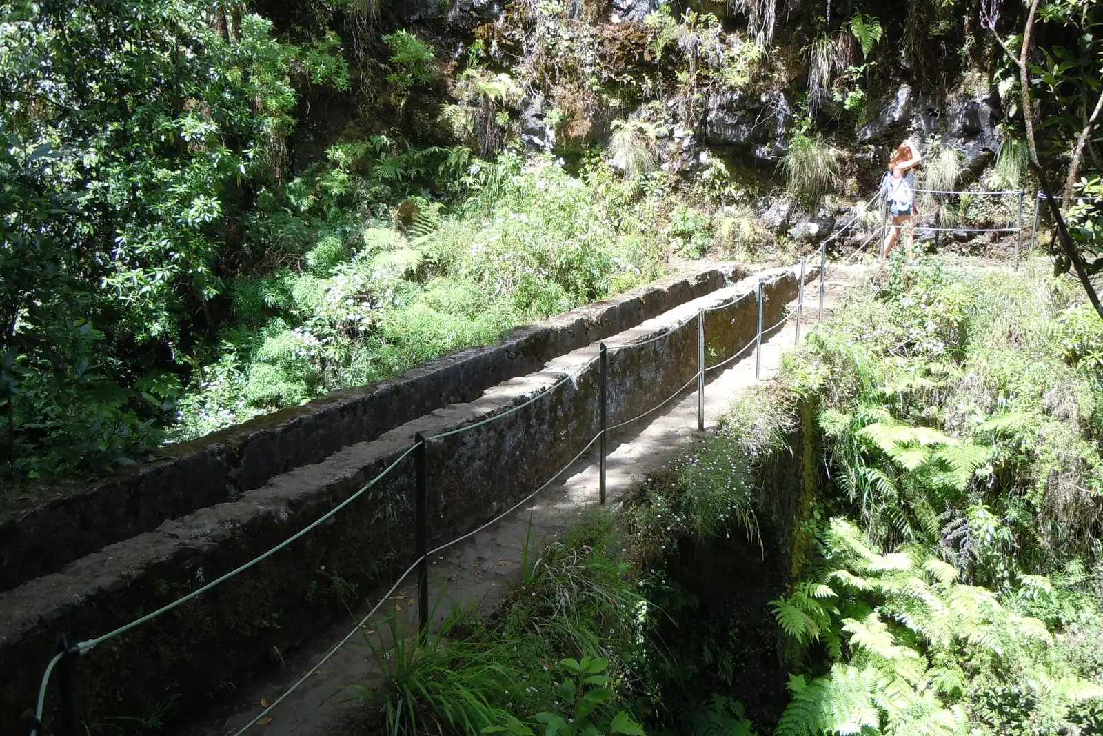
The levada itself is the gentlest stretch in the whole valley: wide, level, with railings for much of its length. If any walk in this guide suits an unsure walker, it is this one and PR 11.
PR 6.1 — Elevation profile
The path ends in front of the fall, not underneath it. When the water is high the spray drifts across the last stretch — in winter you are soaked in a minute.
Combining it with PR 6
Most people do both: out to the Risco, back to the junction, then on to the 25 Fontes. Together that makes a good half day.
But they are two classified routes and therefore two reservations. Book one and walk both and you have a problem at the gate.
The difference between them is bigger than their proximity suggests: 6.1 is wide and protected, 6 is narrow and exposed.
Getting there
As for PR 6: the car park on the ER 105 between Paul da Serra and Rabaçal, at about 1,290 m. Small, full early, and frequently in cloud while the coast is in sun. There is no bus service; hiking transfers run it regularly.
Booking
Fee and reservation required through SIMplifica, in 30-minute slots. Process under booking trails.
Common questions
Why do different distances circulate? Because the sign counts the levada and the map counts the whole walk from the car park. Both are right; they are not measuring the same thing.
Is it pushchair-friendly? No. The path is wide but unsurfaced, and the access road is steep.
How long does it take? Officially two hours. With the shuttle for the return and no long stop, a good one.