Part of our complete guide: Madeira’s hiking trails: the PR routes explained
- Length
- 15 km
- Walking time
- 6:30 h
- Difficulty
- difficult
- Altitude
- 970–1,490 m
- Start
- Lombo do Mouro
- End
- Encumeada
- Fee
- €4.50 per person (as of 2026-08), booked via SIMplifica
PR 17 — The route
Open this route interactively on OpenStreetMap
What it is like
The route keeps changing character: first open high ground with long views, then levada sections along steep north-facing slopes, then the dense laurel forest of the Folhadal, which stays dim even in sunshine.
PR 17 — Elevation profile
The profile shows what the official grade means: it does not go up once and down once, it does so continually. Over fifteen kilometres that adds up to several hundred metres in both directions.
Several unlit tunnels lie along the way, some wet and low. A head torch is required equipment, not an accessory.
What this route demands
- Stamina. Six and a half hours with no shortcut. There is no point along it where you can conveniently bail out.
- Sure footing. The levada sections on the north-facing slopes are narrow, wet and unprotected in places.
- Tolerance for weather. The route is almost entirely on the north side, which stays damp and cool even when Funchal is in sunshine.
- A time buffer. Start at nine and with stops you are barely finished by half past four. In winter that gets tight.
The return is the planning problem
Start and finish are far apart, and there is no practical link on foot between Lombo do Mouro and Encumeada. Leave your car at the start and you end the day fifteen kilometres from it.
Buses towards Ribeira Brava and São Vicente stop at Encumeada, but rarely and with unreliable connections. For this route a hiking transfer or a second car is effectively the only clean answer — drop-off at Lombo do Mouro, pick-up at Encumeada.
That is also why PR 17 is seen less often among independent walkers than its landscape deserves.
Booking
Fee and reservation required through SIMplifica, in 30-minute slots. Process under booking trails.
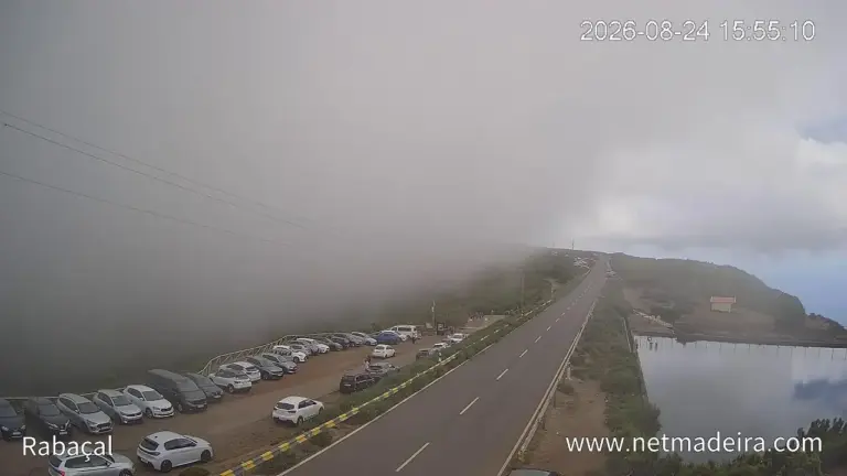
In heavy rain or under an official warning the route closes — on a route of this length, with tunnels and north-slope levadas, that is no formality. The current warning picture for the mountains is beside this text.
Common questions
Can you split it? Not usefully. There is no exit onto a road along the way.
How hard is “difficult” here? It is not alpine difficulty — no scrambling, no exposure of the kind you get on the PR 1 ridge. It is length, damp and sustained effort.
Which direction? Lombo do Mouro to Encumeada, as described officially. The other way round puts the long climb at the end of the day.
Guided? For this route a guided tour (Affiliate link) is the obvious format — it solves the transport and the timing with it.