Part of our complete guide: Madeira’s hiking trails: the PR routes explained
- Length
- 2.8 km
- There and back
- 5.6 km
- Walking time
- 1:30 h
- Difficulty
- moderate
- Altitude
- 1,590–1,857 m
- Start
- Achada do Teixeira
- End
- Pico Ruivo
- Fee
- €4.50 per person (as of 2026-08), booked via SIMplifica
PR 1.2 — The route
Open this route interactively on OpenStreetMap
What it is like
From Achada do Teixeira at around 1,590 m a built path climbs steadily. No tunnels, no ladders, no exposed sections — the gradient is even and the only thing that asks anything of you is the altitude itself. 267 m of ascent is a stroll at sea level; at 1,700 m you notice it.
PR 1.2 — Elevation profile
Just below the top stands the Casa de Abrigo do Pico Ruivo, a staffed shelter with drinks and soup. From there it is another ten minutes of steps to the summit cross.
What you see from the top
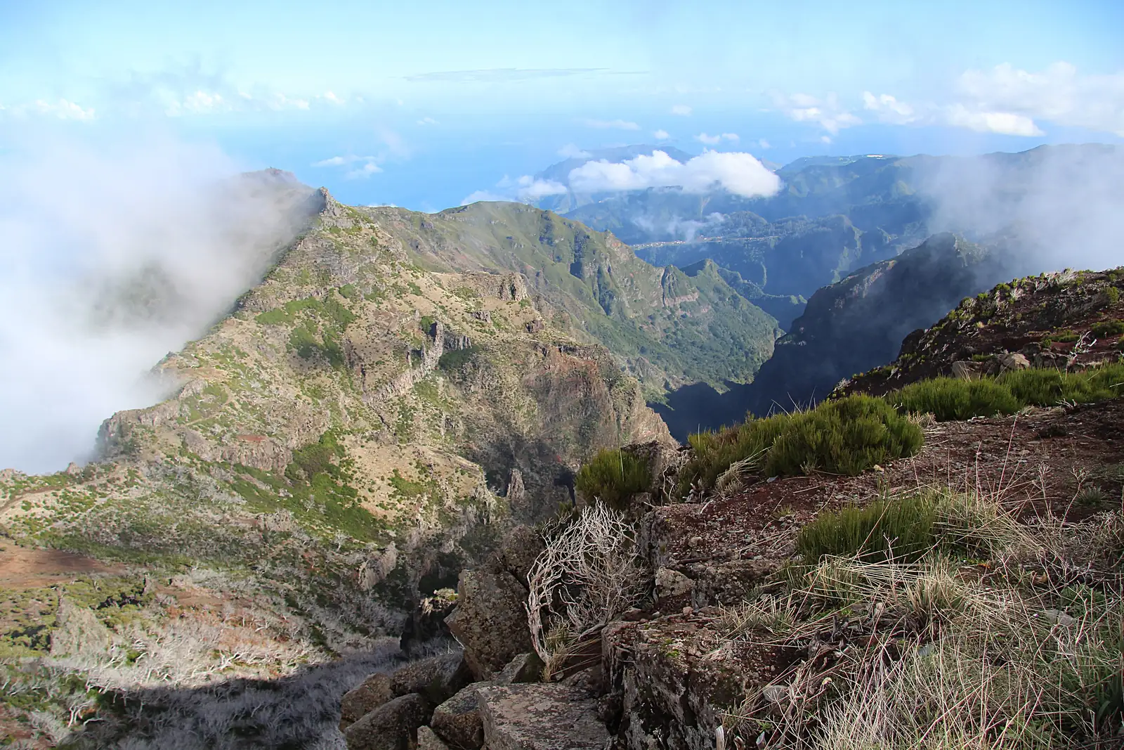
On a clear day, half the island: the ridge across to Pico do Arieiro, the serrated crests of the central massif, and on good days the north and south coasts at the same time. With closed cloud below the summit you stand above a sea of cloud — the picture most people come up for.
With cloud at summit level you see thirty metres. It is worth checking the forecast beside this text first: a foggy day up here is not half the experience, it is none of it.
Getting there
A narrow but well-surfaced road climbs to Achada do Teixeira from Santana. The car park is at the trailhead. The route ends where it starts — your car is in the right place at the end of the day, unlike almost every other route in this guide.
The second reason to know this trailhead: it is the usual finish of PR 1. If you cross the ridge from Arieiro, you come down here.
Who it suits
This is the route for everyone who finds PR 1 too exposed: families with children, anyone with a head for heights problem, and anyone with half a day rather than a whole one. It is officially graded moderate, and that is entirely about the gradient.
It is not suitable for wheelchairs or pushchairs — paved here means roughly built, with steps.
Booking
Like every classified PR route this one requires a fee and a reservation, booked through SIMplifica in 30-minute slots. The process is under booking trails.
Common questions
How long does it actually take? Officially 1:30 for 2.8 km there and back. Realistically a good hour up, half that down, plus time at the top.
Is it cold? At 1,857 m it runs ten to fifteen degrees below Funchal all year, with wind on top. In winter it can freeze up here.
Can you continue onto PR 1 from here? Yes, that is the usual combination in reverse. But it is a separate walk with a separate reservation — and then your car is at the wrong end.