What a levada is
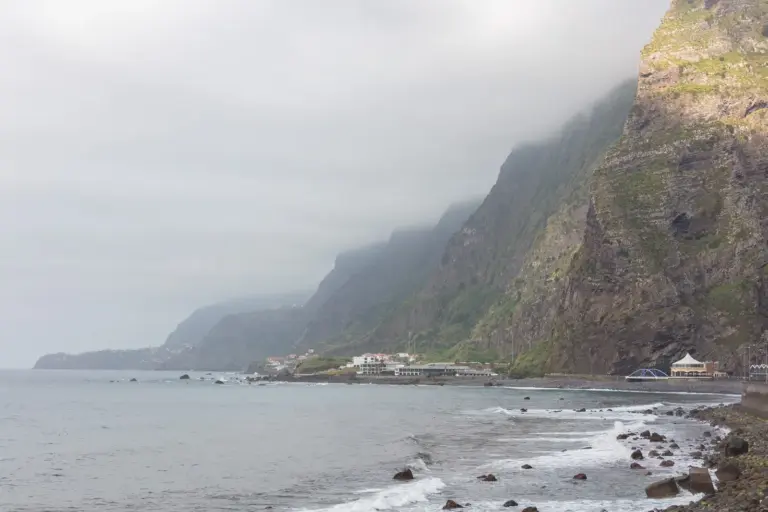
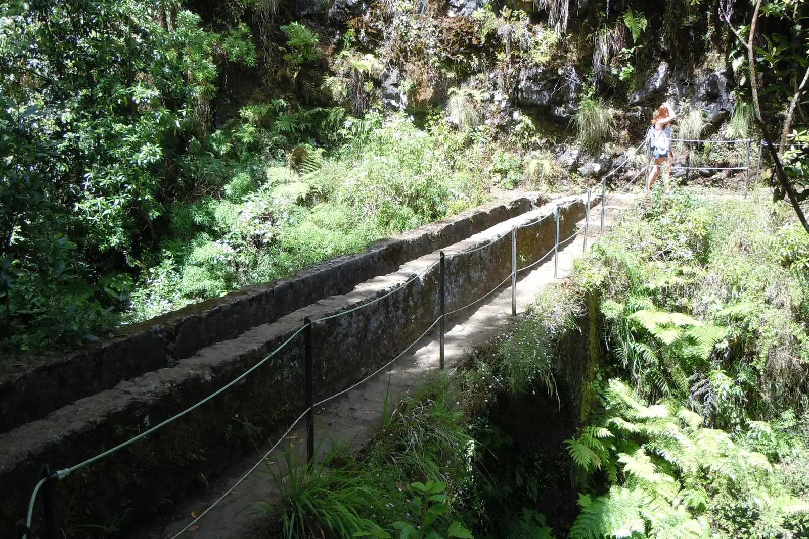
A levada is not a footpath but an irrigation channel. The north of Madeira gets several times the rainfall of the south — around 1,200 millimetres a year in the north, against a monthly average of 35 on the west coast at Ponta do Sol. Since the fifteenth century the water has been carried across the island in masonry channels with a minimal gradient.
A maintenance path runs alongside each channel, and that path is the walk. Its being almost level is not luck but a consequence of the design: water does not flow uphill. That is why levada paths traverse terrain at mid-height that nobody would otherwise have opened up.
What that means for planning
Level does not mean harmless. The path is often one step wide, and the side without the channel is frequently the side with the drop. There is no railing everywhere. If you are not comfortable with exposure, choose routes deliberately rather than being surprised by them.
The official routes carry PR numbers. The authority’s difficulty rating is meant conservatively and describes exposure and surface, not physical effort. A route graded hard can be short and flat and still be hard.
The four to start with
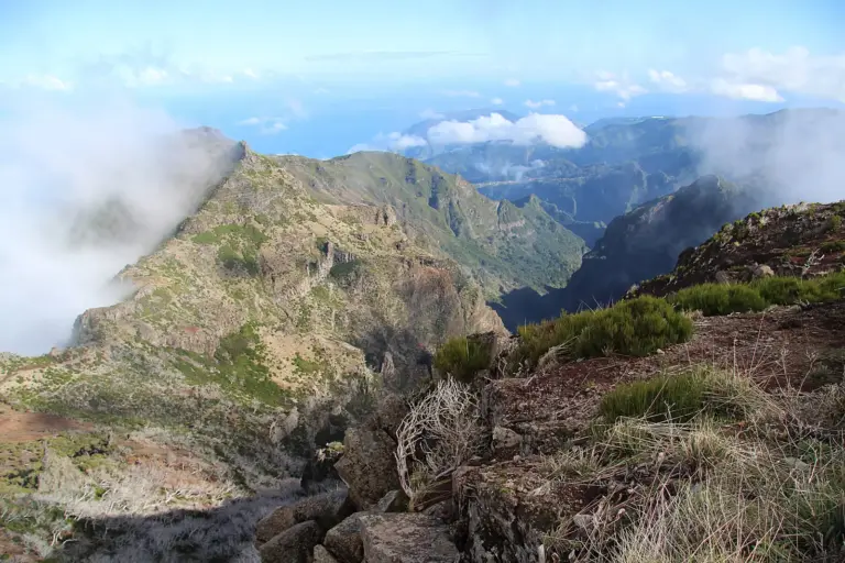
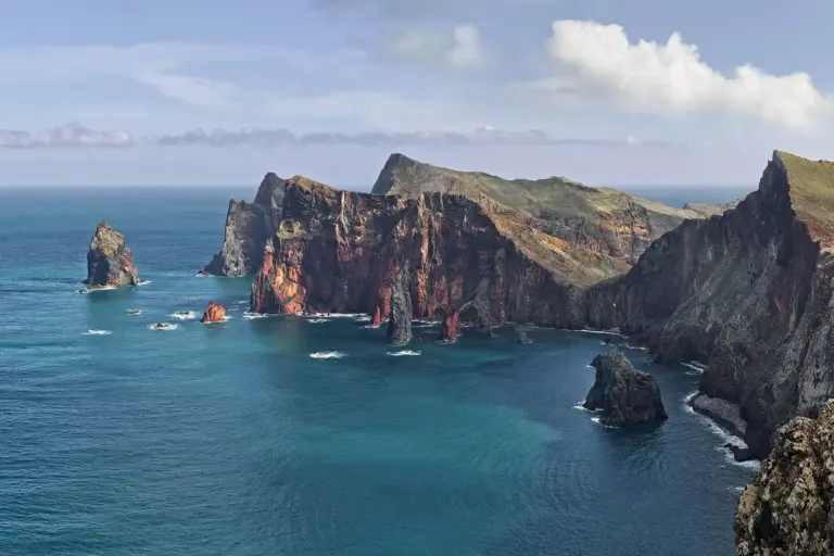
Rabaçal and the 25 Fontes in the highlands, the Levada do Caldeirão Verde in the north, the Vereda do Pico do Arieiro along the ridge, and Ponta de São Lourenço in the east. The first three run through laurel forest and cloud, the fourth across a treeless peninsula — one island, four different landscapes.
Two things to settle beforehand: whether the route has tunnels, and what the weather is doing on that side of the island. Either decides the day more often than fitness does.