Part of our complete guide: The best time to visit Madeira
The cause
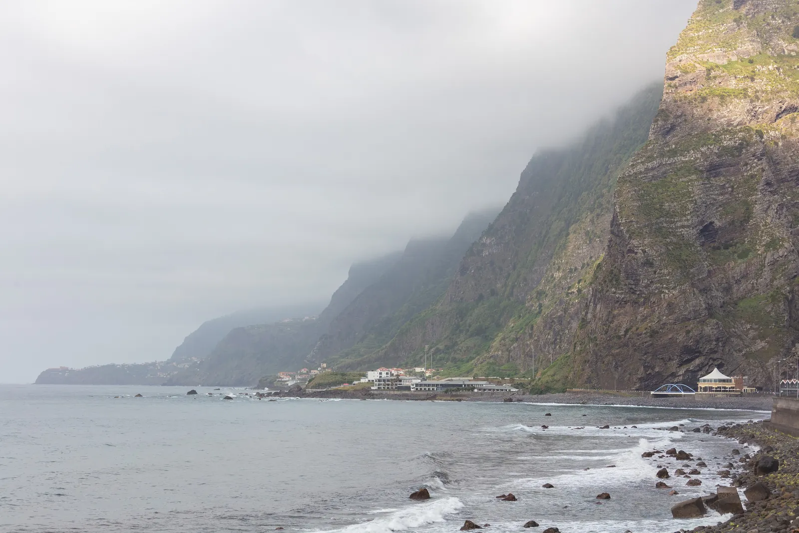
The north-east trade wind meets a ridge that reaches 1,862 metres. The air has to rise, cools, and drops its rain on the north side. What arrives on the south side is drier and warmer.
The scale: around 1,200 millimetres of annual rainfall in the north against a monthly average of 35 millimetres on the west coast at Ponta do Sol. That is not a nuance, it is two climates across 57 kilometres of island.
What to do with it
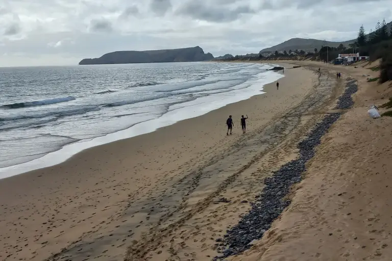
You do not plan the day, you plan two options for the day and decide in the morning. If it is raining in Santana, drive to Ponta do Sol — 35 minutes from Funchal, and the sun is quite likely to be out there.
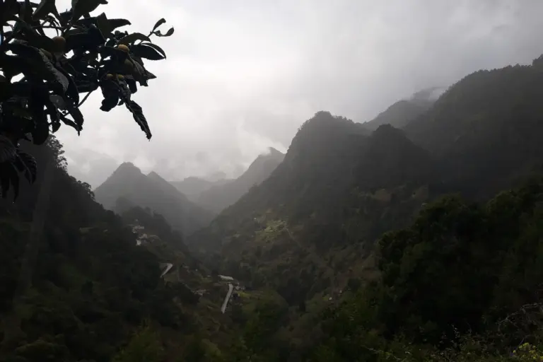
It works the other way too: when the south is closed in, the north can be clear. And sometimes a solid layer of cloud covers both, and you drive out above it at Pico do Arieiro — 1,818 metres by car, the rest on foot.
Which forecast is any use
One that resolves by place, not by island. The Portuguese weather service publishes for individual municipalities, and that is the useful resolution. An app showing one symbol for “Madeira” averages two weather zones into a figure that is wrong for both.
The webcams at the well-known points help as well. A look at Arieiro before setting off saves the drive up into the cloud.