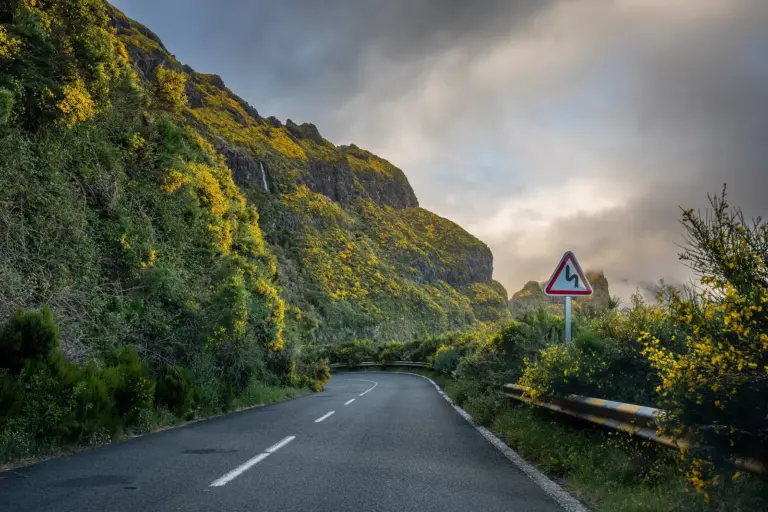
01Hiking & LevadasLevada walks on MadeiraSome 3,000 kilometres of water channels run through the island. Part of that network is walkable, and that part is why most people come.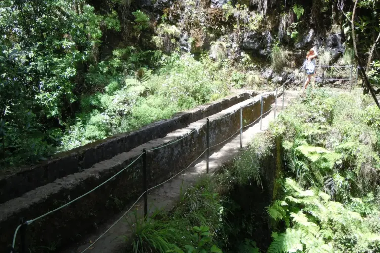 02PracticalCar hire and getting thereThe coastal roads are new and fast. The routes into the highlands are not. What that means for the car you book.
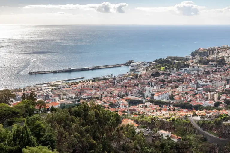
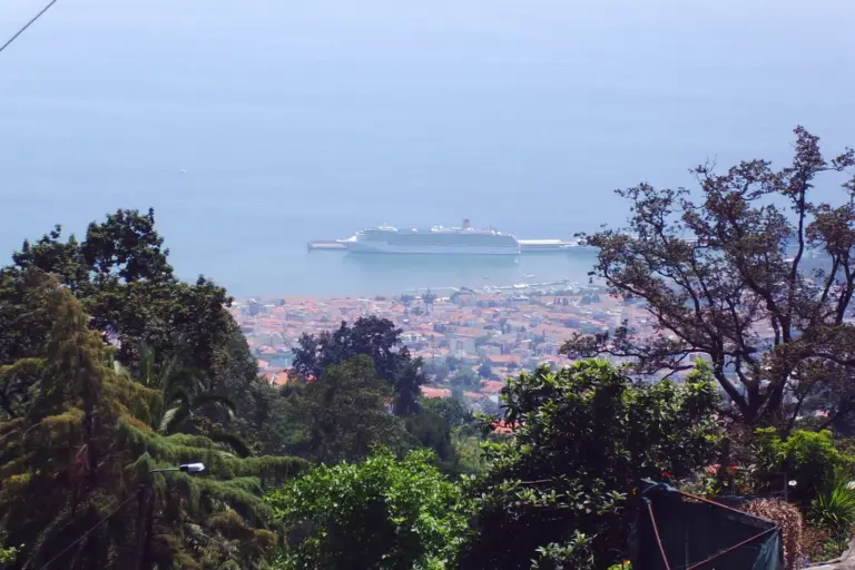
 03Culture & FestivalsFunchalThe city sits in an amphitheatre of slopes. That explains most of it: the cable car, the prices per metre of altitude, and why you rarely walk on the level.
 04PracticalThe best time to visit MadeiraA year-round destination does not mean every month is the same. What differs is not the temperature but the light, the rain and the crowds.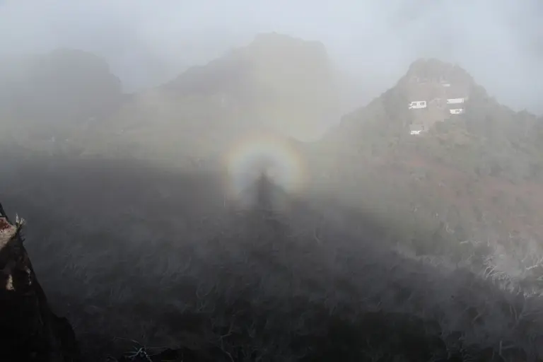
02PracticalCar hire and getting thereThe coastal roads are new and fast. The routes into the highlands are not. What that means for the car you book.03Culture & FestivalsFunchalThe city sits in an amphitheatre of slopes. That explains most of it: the cable car, the prices per metre of altitude, and why you rarely walk on the level.04PracticalThe best time to visit MadeiraA year-round destination does not mean every month is the same. What differs is not the temperature but the light, the rain and the crowds.