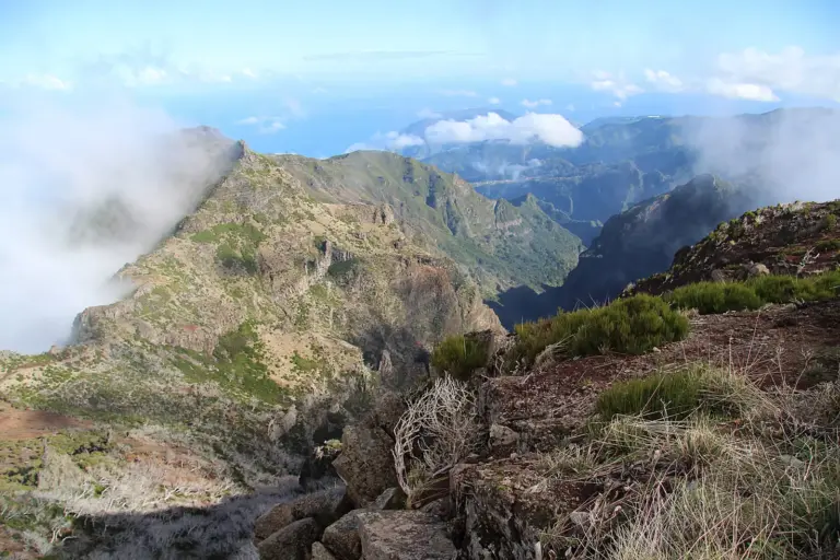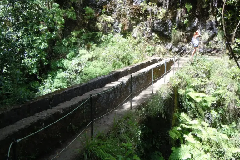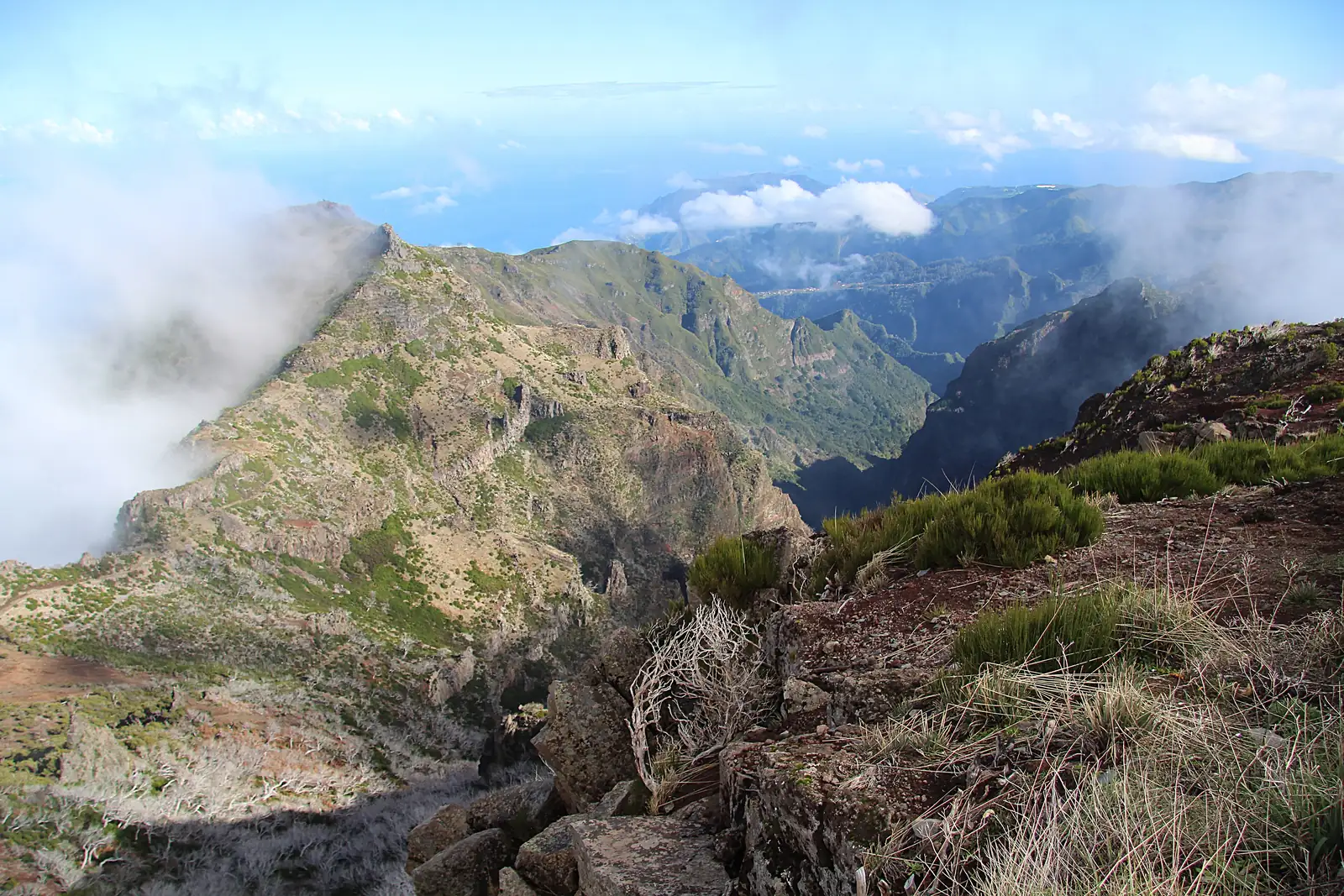
The highlands are the region that explains the rest of the island. This is where the clouds get stuck, where the water falls that the levadas carry downhill, and where Pico Ruivo stands at 1,862 metres as the highest point on Madeira.
Pico do Arieiro at 1,818 metres is the only summit of that order you can drive up to — 50 minutes from Funchal, car park at summit level. From there the PR1 trail leads to Pico Ruivo: about 7 kilometres one way, several tunnels in which a head torch is a prerequisite rather than an accessory. The path was closed for nearly two years after the 2024 wildfire and has been accessible again since spring 2026 — but how much of it varies: the tourism board at times lists it only as far as the Pedra Rija viewpoint at kilometre 1.2, and the fee schedule covers both cases, €10.50 for the full route and €4.50 for the section. Check the current state on simplifica.madeira.gov.pt before booking, and do not assume you can walk it there and back.
Paul da Serra in the west is a different thing altogether: a plateau at around 1,500 metres, flat, treeless, with wind turbines and free-roaming cattle. From its rim you descend to Rabaçal and the trail network of the 25 Fontes and the Levada do Risco.
Since January 2026 PR1, like every waymarked trail, needs a reservation: book the time slot in advance through SIMplifica, €10.50 per person — the highest rate on the island, against €4.50 elsewhere. No booking, no access.
Temperature: count on 10 to 15 degrees less than on the coast. With 22 degrees in Funchal, 8 degrees plus wind on Arieiro is a realistic combination.
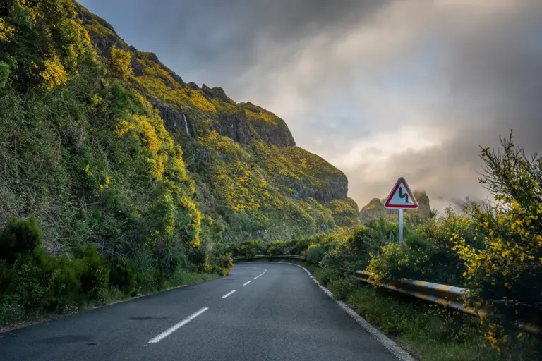
Access: the mountain roads close in storms, ice or high wildfire risk. Check the road status before you leave, not at the barrier.